At the intersection of parking, access, mobility, curb management, street culture, walkability, land use, zoning, redevelopment, affordability, and livability.

Studio Davis helps communities align parking, mobility, and land use decisions to support vibrant, successful places.

Planning for how places actually work.

Studio Davis is a planning firm specializing in parking and curb management, transportation and mobility, zoning and land use, redevelopment, and access. We combine field observation, data and GIS analysis, code and policy, and public engagement to understand how a place functions and turn that diagnosis into practical, implementable recommendations.

Our work ranges from parking studies and transportation plans to zoning and development code updates, TDM, wayfinding, GIS analysis, and redevelopment-focused planning. The setting might be a downtown, a transit district, a neighborhood, or a rural region. The common thread is connecting systems that are too often planned separately.

Explore the
Analytics Atlas.

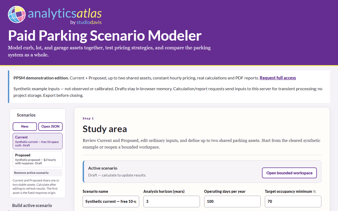
Maps, dashboards, and scenario tools help you explore practical parking questions. See patterns, compare options, and understand the assumptions behind the results.

Explore the Atlas
Curb parking and pedestrian space in downtown Dallas, Oregon.
What could a parking benefit district add to an urban renewal district?

News & resources

All news & resources